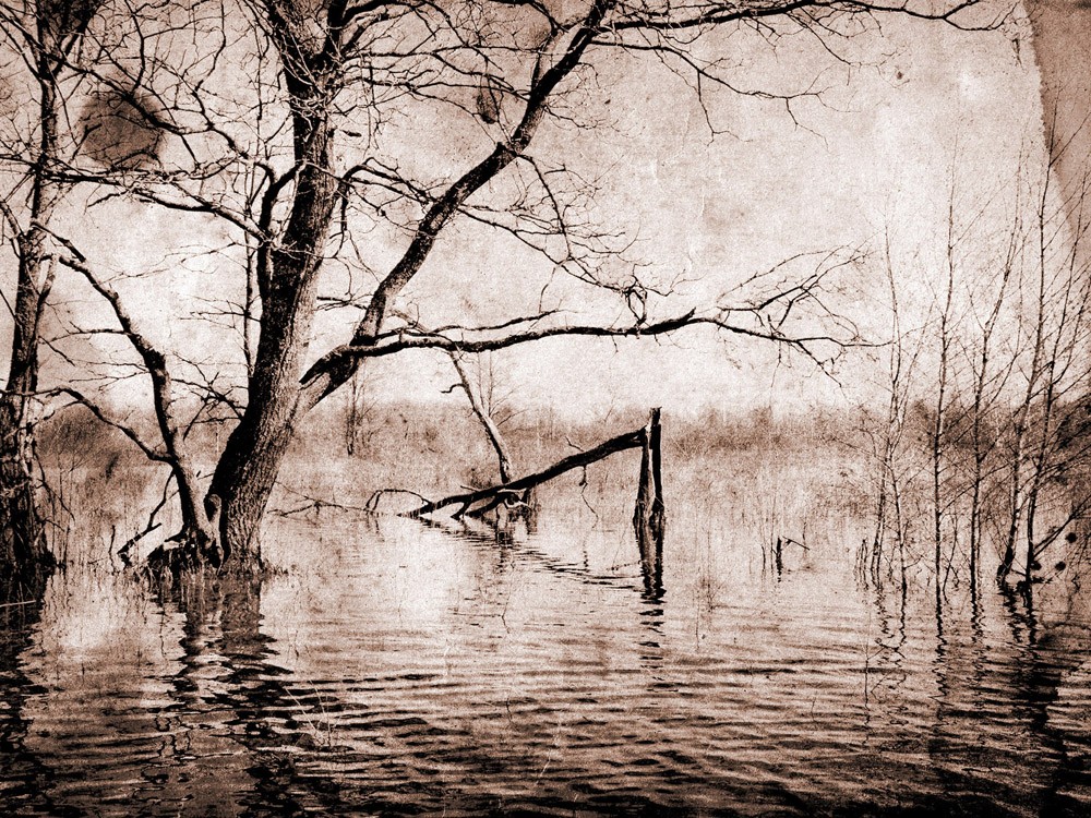
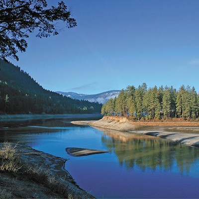
The hydrologic havoc playing out in the Mississippi Delta over the past couple months is not a freak of nature. This slow-motion, manmade disaster is our inheritance from a previous generation of politicians, farmers and ranchers, who made bad decisions to correct short-term problems even as the best available science warned of long-term consequences. Like it or not, we will pay their bill in full.
In May, the Mississippi River flowed through the opened-up Morganza Spillway to relieve pressure on Baton Rouge and New Orleans. As that happened, John Barry, the author of Rising Tide: The Great Mississippi Flood of 1927 and How it Changed America, was correctly telling anyone who would listen that the destruction caused by the current floods is a direct consequence of building five huge dams on the upper Missouri River 60 years ago.
When lawmakers approved the construction of those dams under a plan known as Pick-Sloan, the ambitious scheme was the most expensive public-works project ever funded by Congress. In the closing days of World War II, Pick-Sloan merged two proposals for managing the federally owned water that flowed out of the million-square-mile Missouri River Basin.
The Pick Plan, advanced by Colonel Lewis Pick of the Army Corps of Engineers, was sold to skeptical members of Congress with the promise that Indian lands only — no white lands, towns and cities — would disappear beneath the 200-mile-long lakes formed behind the dams.
The other plan, drafted by Glenn Sloan, an engineer at the Bureau of Reclamation, called for building 100 small dams that would be scattered across the region on the river’s myriad tributaries. The Sloan Plan was championed by Secretary of the Interior Harold Ickes, whose views on the Corps were well-known: “No more lawless or irresponsible group than the Army Corps of Engineers has ever attempted to operate in the United States either outside of, or within, the law. It is truly beyond imagination.”
In a move that confounded skeptics, the two plans were merged into a single project at a one-day meeting in Omaha, in 1944. When President Roosevelt signed the bill into law, the powerful National Farmers Union president, James Patton, called a press conference and declared that the government had performed “a shameless, loveless, shotgun wedding.” Like all such marriages, he warned, it would end in disaster.
A few blocks away, the interim director of the Bureau of Indian Affairs, William Brophy, wrote a letter to Martin Cross, chairman of the Mandan, Hidatsa and Arikara nations. Cross’s people would be the first of 23 bands and tribes of Indians scheduled to lose treaty-protected homelands to Pick-Sloan.
“As you well know,” lamented Brophy, “there is nothing in Washington, D.C., that is easier to swallow, or harder to kill, than a bad idea.”
Brophy was no stranger to the ill-tempered Missouri, or to the arid basin and range that carries its name. Farmers and ranchers had been badgering Interior for irrigation projects on the High Plains since the turn of the century. He was probably one of the only people in Washington, D.C., who had actually read the Army Corps’ 1,245-page report on the Missouri, which was presented to Congress in 1934 by its chief of engineers, Maj. Gen. Lytle Brown.
Brown hoped that their five-year investigation would shut the door on fanciful dreams of water projects on the Upper Missouri once and for all. The nation’s chief water engineer warned lawmakers that due to the geology of the country, and the notorious siltation issues associated with the river, only madmen would build dams above Sioux City, Iowa.
But in the spring of 1943, devastating floods on the Lower Missouri carried away towns, livestock, farmhouses and any attempt at sound reasoning. Politicians promised dry land farmers and ranchers a million acres of irrigation if they would support Pick-Sloan. They did, en masse.
The result? Their grandchildren have yet to see the first drop of that water. And two-dozen treaty tribes were dispersed and relocated with crippling consequences that are with them to this day.
Garrison Dam, 70 miles upstream from Bismarck, N.D., is large enough to capture the annual flow of six Colorado rivers. But it is so troubled by the siltation problems Brown warned about in 1934 that the dam could be completely useless within two generations.
Where would we be today if we had taken Maj. Gen. Brown’s advice? Will we never learn that the swirling flotsam of our ignorance and arrogance will always come full circle on a rising tide?
Paul VanDevelder is a contributor to Writers on the Range, a service of High Country News (hcn.org). He lives in Portland, Ore.


